Mapping Services

State of the art accessibility mapping

For municipalities, national parks, sporting precincts, universities, and disability advocates working in the government and business sectors of Disability, Accessible Tourism, Transport, and Health.

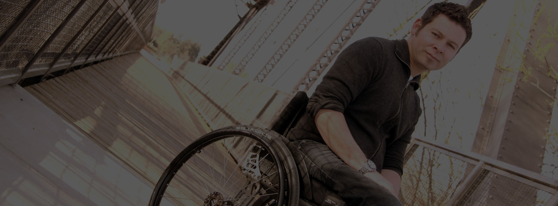
Briometrix wants to make the everyday journey and travel experience easier for those who manage accessibility issues.  Accessibility is different for everyone.  The more information available through smart technology, the more confident and willing people will be to try new places and revisit favourites.

From maps to apps

Cost effective, low maintenance, created in half the time.  Up to date. Customised for events, add features.  Visualise cities accessibility. Option for printable map.

Switch On Navigation In Your Precinct

Chart cities, landmarks, national parks, sporting precincts, universities and the like.

Disability and inclusion planning data

Access reports on visitor traffic, demographics, habits, accessible tourism, urban planning, facilities usage,  social inclusion, best routes, more insights.

Creating a Navability Map

The Briometrix team works with you to develop the project plan, hire the wheelchair pilots and schedule all the mapping activities.

Using our Briometirx wearable device attached to the wheelchair, within a short timeframe your precinct’s Navability map will be available to your community and all it’s visitors.

Your city routes, parkland trails, and favourite places can soon be traveled using Navability’s accessible navigation and route effort rating.

Biometrix’s mapping services offer a suite of reports on accessibility issues for your precinct, in time offering trends and yearly comparison data.

Enquire About Mapping Services